
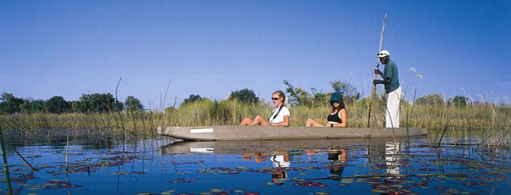
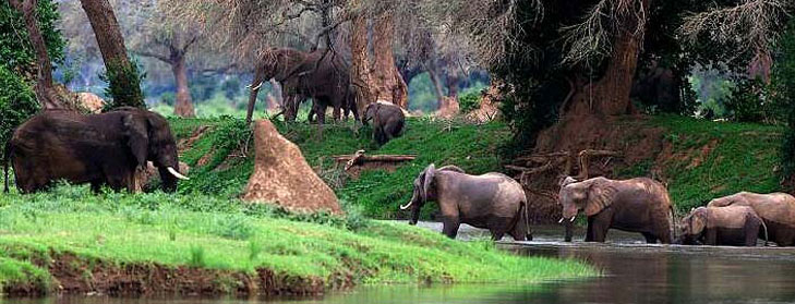
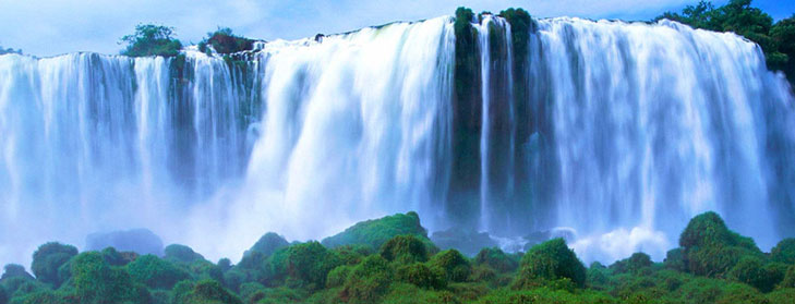


Zambezi River
The Zambezi is Africa's fourth largest River system, after the Nile, Zaire and Niger Rivers. It runs through six countries on it's journey from central Africa to the Indian Ocean. Its unique value is that it is less developed than others in terms of human settlement and many areas along it's banks enjoy protected status.
Running for a length of 2700kms, it begins it's journey as an insignificant little spring in the corner of north-west Zambia in the Mwinilunga District. It bubbles up between the roots of a tree, very close to the border where Zambia, Angola and Zaire meet. It enters Angola for about 230kms, where it accumulates the bulk of its headwater drainage, and re-enters Zambia again at Cholwezi rapids flowing due south but substantially enlarged by the entry of various tributaries.
It passes through the flat sandy country of the Western Province, then traverses the broad, annually flooding Barotse Plains, where much of the water is lost to evaporation, then over more rocky country where it's tranquil course is interrupted by the Ngonye falls and rapids.
As it turns to an easterly direction it forms the border between Zambia and Namibia and eventually joins up with the Chobe River in the Caprivi Swamps, briefly forming a border with Botswana.


